
Mount Rinjani is not just a mountain—it is the giant heart of Lombok Island. Standing at 3,726 meters above sea level, Rinjani is Indonesia’s second-highest volcano and one of the most famous trekking destinations in Southeast Asia. If you are planning to hike or simply want to understand the geography of Lombok, knowing the Mount Rinjani map is very important.
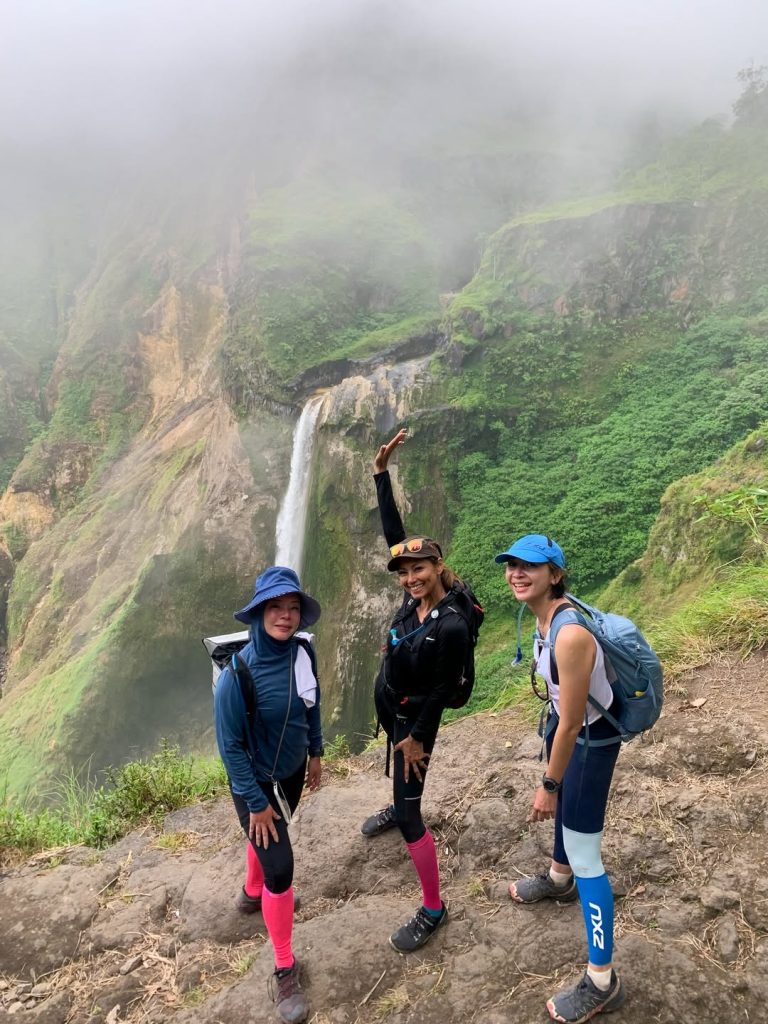
Mount Rinjani sits in the northern part of Lombok Island and dominates the landscape. The mountain is part of Mount Rinjani National Park, a protected area known for forests, volcanic scenery, waterfalls, and wildlife. Because of its size, Rinjani can actually be seen from many parts of Lombok.
On most trekking maps, there are two main gateways to climb Rinjani: Senaru and Sembalun. Senaru is located on the northern side and is famous for its forest trail and access to crater rim views. Sembalun, on the eastern side, is more open and is often used by hikers aiming for the summit because the route is considered more direct. These two routes are the most common paths shown on Mount Rinjani trekking maps.
One of the most iconic points on the map is Segara Anak Lake, a beautiful crater lake inside the volcano. This lake is often a key camping point for trekkers. Near the lake, hikers can also find hot springs, making it one of the highlights of the Rinjani route.
The summit route usually starts from Sembalun, climbs through grassland and crater rim camps, then continues toward the peak before descending. Meanwhile, many trekking packages combine both routes—starting in Sembalun and finishing in Senaru, to give hikers a full experience of the mountain.
A Mount Rinjani map also helps travelers understand the relationship between the mountain and Lombok itself. Rinjani sits like a giant natural center for the island, influencing rivers, landscapes, and tourism routes. It is one of the most important natural landmarks in Lombok and attracts thousands of hikers every year.
If you plan to trek Rinjani, studying the map before going is highly recommended. The mountain is stunning, but it is also challenging. Knowing where the entry gates, campsites, crater rim, lake, and summit are can make your adventure much safer and more enjoyable.
For many travelers, Mount Rinjani is not just a hike, it is the ultimate Lombok adventure, and every adventure starts with understanding the map.